CCU's scientists spend summer on geophysical survey
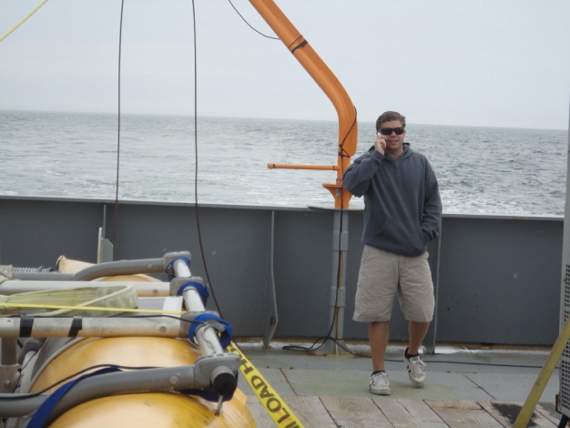
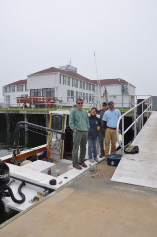
While spending a month on a ship alongside the barrier island of Fire Island, N.Y., might sound like a glamorous vacation, it's really just another day at work for marine scientist Paul Gayes and his research team from CCU's Burroughs & Chapin Center for Marine and Wetland Studies (CMWS).
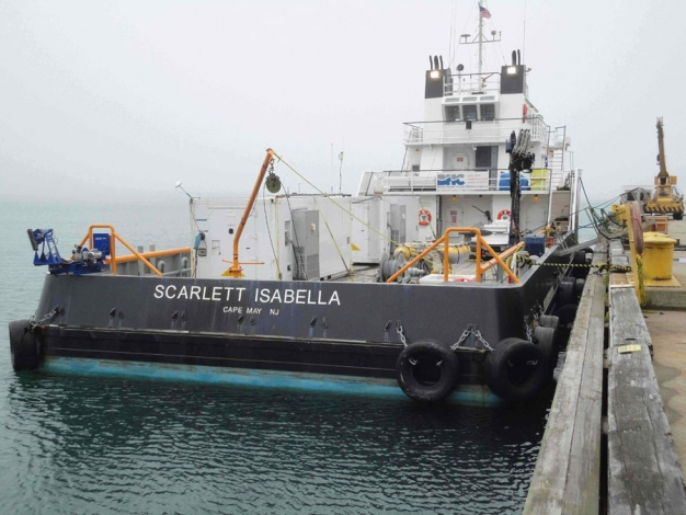
Gayes (director of the CMWS) and his team are on board the Scarlett Isabella, a 133-foot research ship based out of Boston, completing a geophysical survey of the inner shelf off the coast of the Fire Island National Sea Shore. They are partnering with the U.S. Geological Survey (USGS).
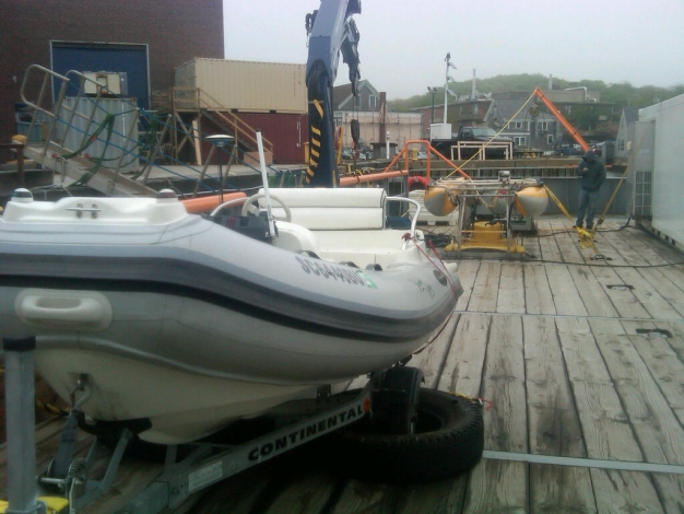
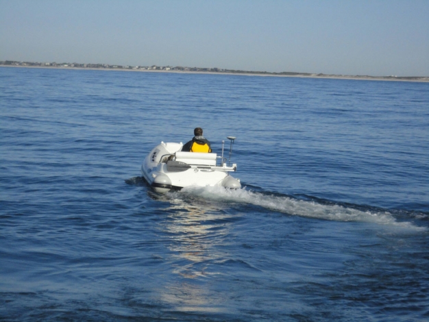
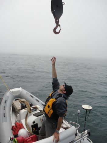
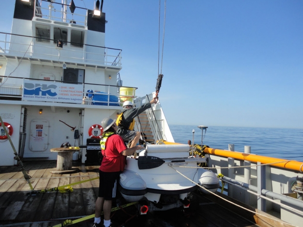
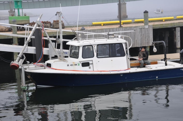
On good weather days, the CMWS team will use the Leading Lady, a 13-foot inflatable craft, and an onboard single beam system to image shallower waters than the Scarlett Isabella can operate, nearshore to the beach on the east end of Fire Island. On bad weather days, the CMWS team will be running multibeam and a second USGS chirp sub-bottom survey in the Great South Bay. Two other small vessels will be operating from the Fire Island Inlet with the Center’s multibeam sonar and single beam systems on the west end of Fire Island.
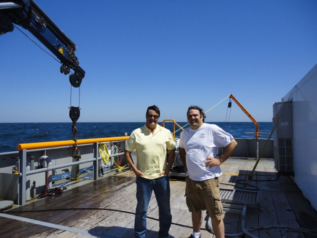
The Center's research team consists of Gayes; Jeff Marshall and Jamie Phillips, both marine operations managers; Shinobu Okano and Brian Johnson, both research specialists; and CCU student Preston O’Brien-Gayes. The chief scientists for the project are Bill Schwab and Cheryl Hapke of USGS-Woods Hole.
The purpose of the project is to determine how the innershelf system interacts and influences the long-term evolution of Fire Island (sediment budget) and the shorter-term behavior of the beach system and local erosional patterns. This is the third phase of the USGS-led cooperative effort involving the CMWS.
Later this year, the USGS plans to deploy some hydrodynamic instrumentation to help observe and model processes shaping the system defined by the geophysical survey. USGS also plans to run an aerial LIDAR, an optical remote sensing sytem, survey of Fire Island in conjunction with the ongoing shallow water work. Also, for the last two years there has been a CMWS surf zone imaging system operating in the Fire Island Lighthouse, tracking rip cell and nearshore bar configurations and patterns on the beach.
During this same period, a second CMWS team led by Rich Viso will be running the CMWS chirp's sub-bottom profiling system on a study of ebb tidal delta deposits off Topsail Island, N.C.